 01
01Underground Utility Mapping — Riyadh Metro (All Six Lines)
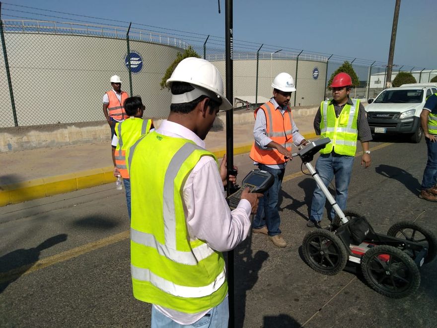
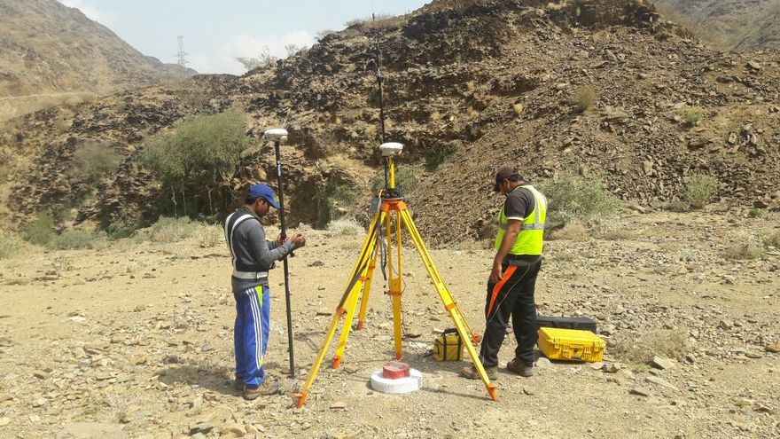
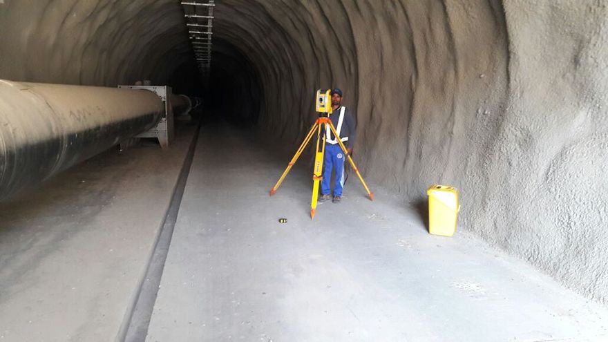
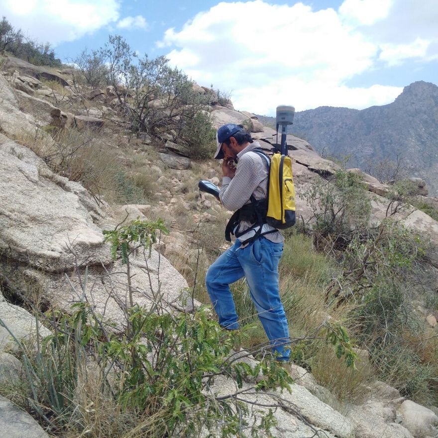
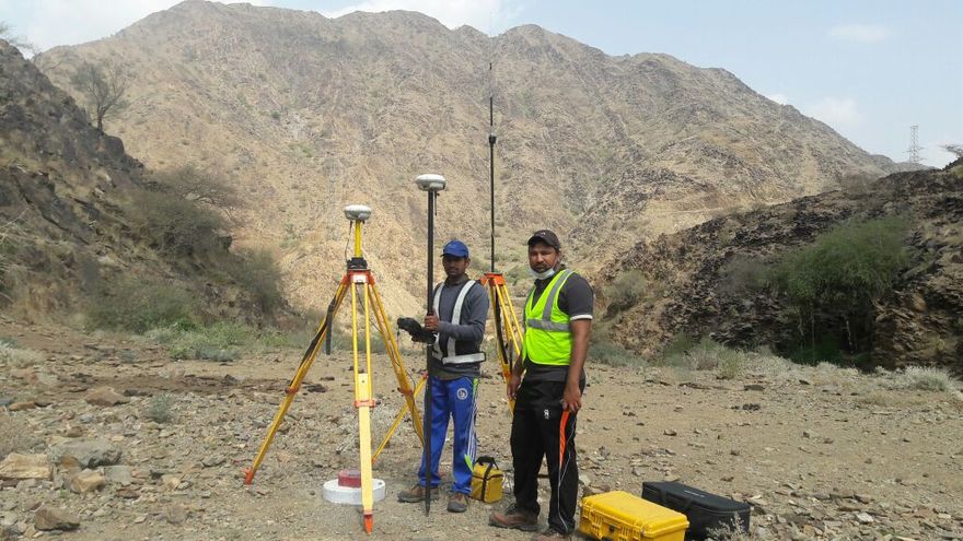
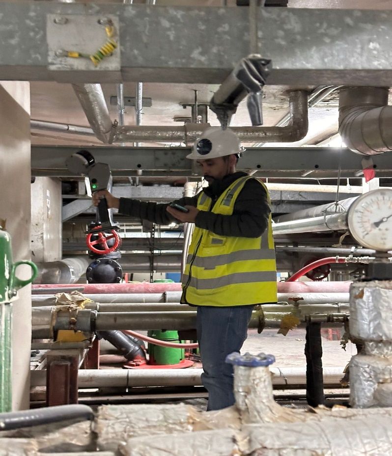
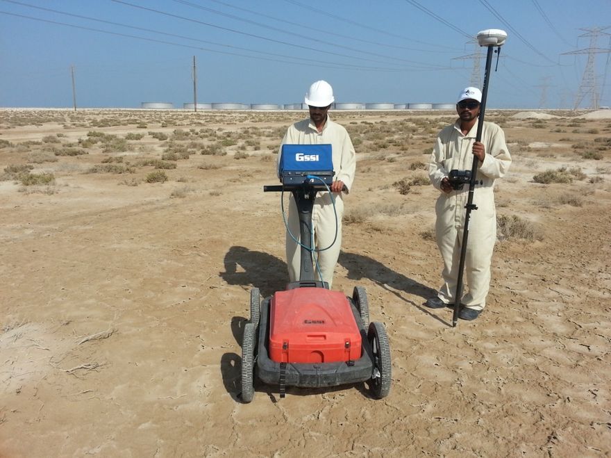
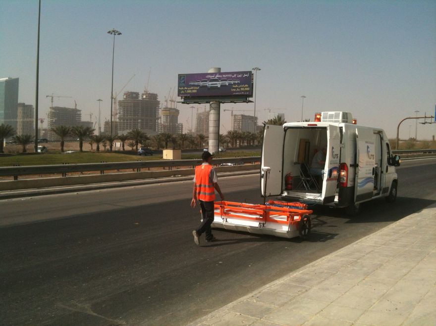
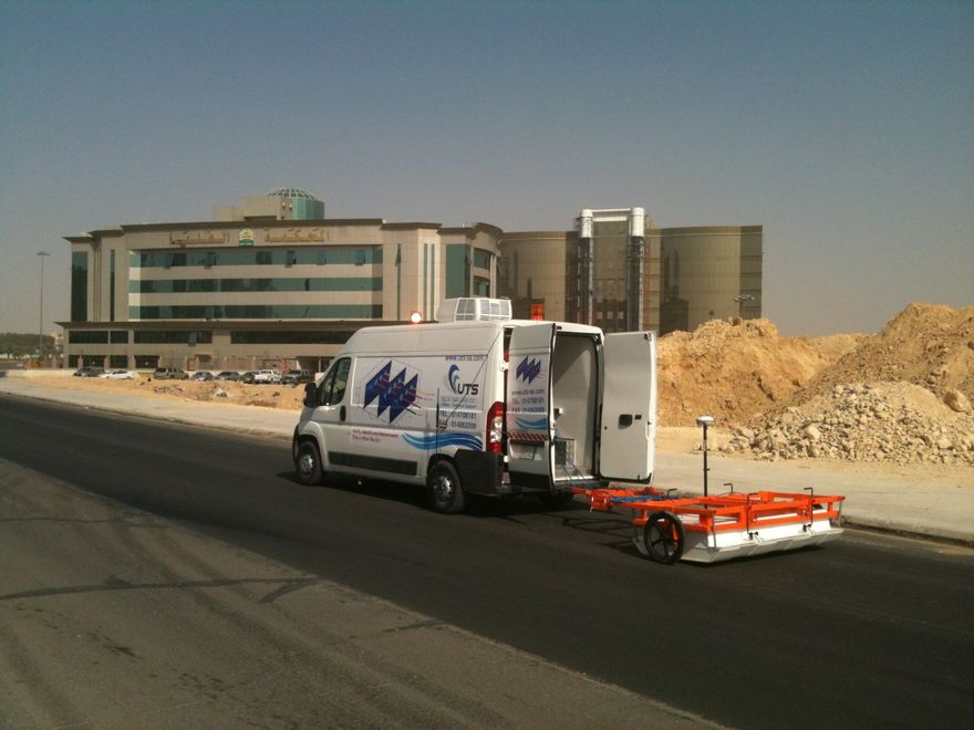
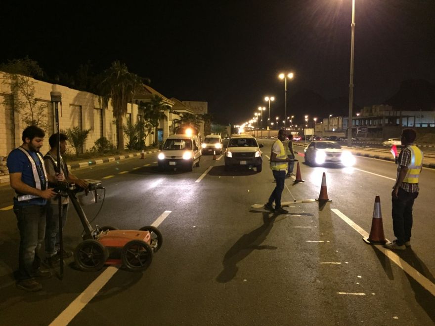
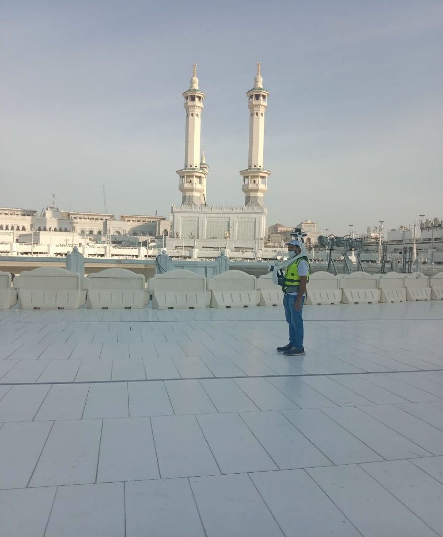
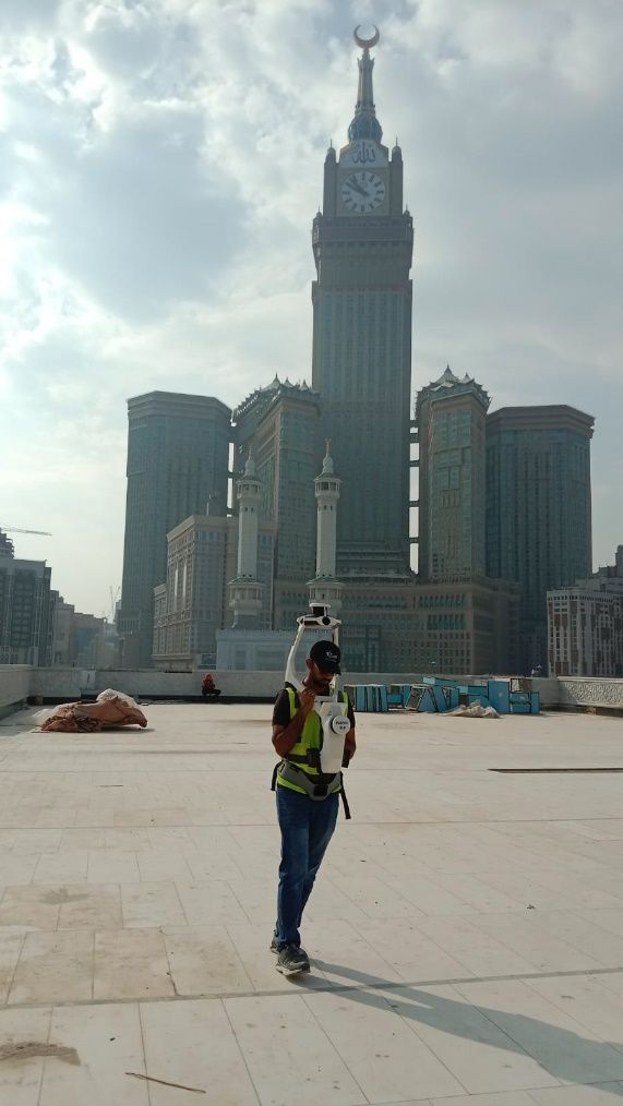
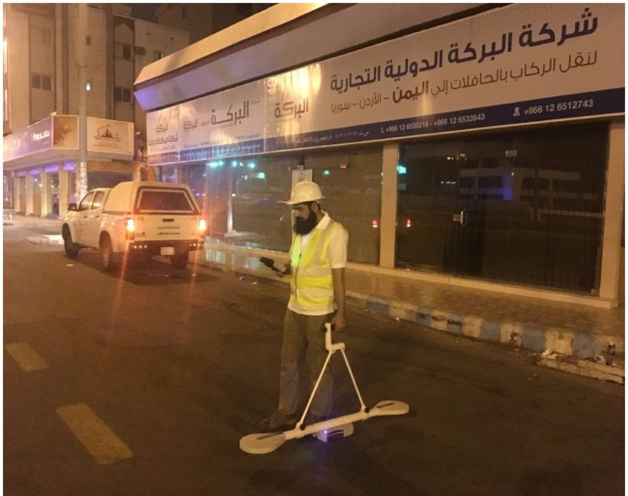
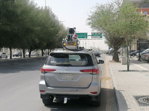
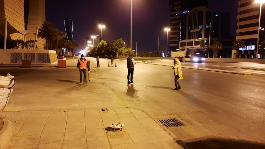
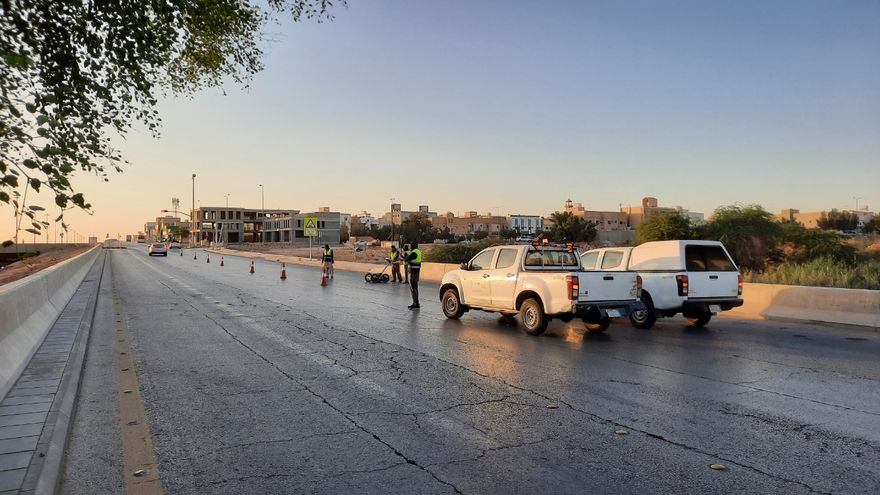
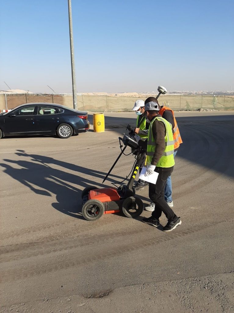
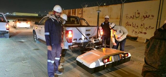
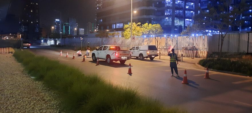
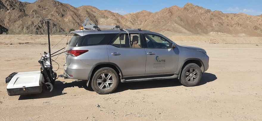
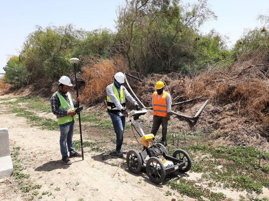
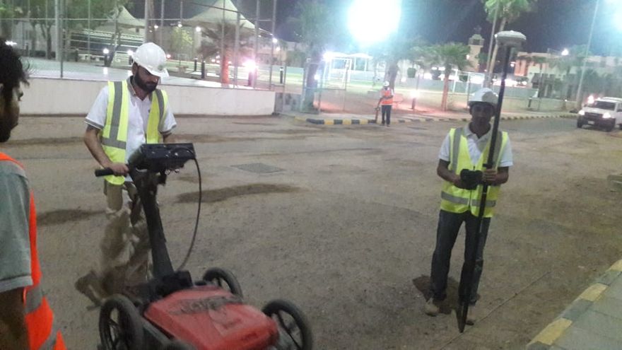
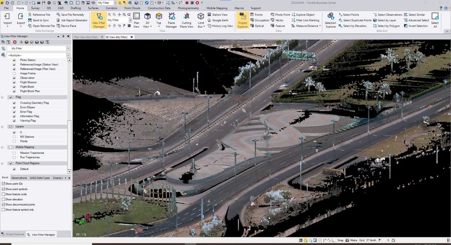
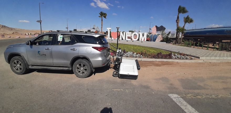
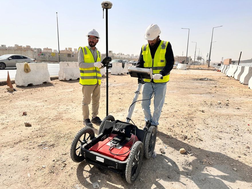
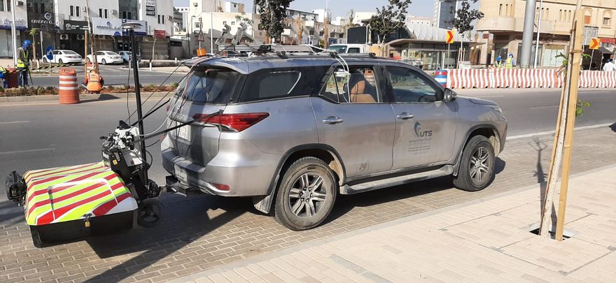
UTS was commissioned by the Royal Commission for Riyadh City (RCRC) to carry out comprehensive underground utility detection and mapping across all six lines of the Riyadh Metro network. Operating across one of the region's most complex urban environments, UTS mobilised coordinated field teams to systematically detect, trace, and map the full extent of buried utility infrastructure along each metro corridor alignment. Employing Ground Penetrating Radar (GPR), electromagnetic (EM) pipe and cable locators, and GNSS positioning systems, UTS captured accurate subsurface data that was subsequently integrated with existing infrastructure records and compiled into georeferenced GIS datasets. The deliverables produced by UTS enabled safe construction planning, significantly reduced the risk of utility strikes during metro construction activities, and provided RCRC with a reliable utility asset database for long-term infrastructure management across all six metro lines.